Gallup

We had fun driving from Page to Gallup. We took highway 89 from Page to Flagstaff, which had been closed due to a rock slide. But it was repaired. I’m glad we took it. The scenery was spectacular. At one point, the road was cut into a hill. The road had no shoulders; the walls of the hill seemed to go straight up and almost touch the sides of the road. The San Francisco Peaks were fantastic. We made an impromptu stop at Sunset Crater — a volcano flow site, which was quite interesting.

Flagstaff is where we picked up I-40. We got off the interstate to drive through Wislow, where we stopped to visit La Pasada. This used to be a luxury hotel in the 30s, owned by the rail road company. It’s been restored and looks great. You can still get the Amtrak train from the hotel. We also got off at Holbrook to drive through the Wigwam Motel, originally constructed because of the popularity of Route 66. It’s still there and it looks to be in great shape. They park historic cars in the lot. Some of the cars look like they’re in bad shape, but it’s great fun none the less. Our last stop was at the Painted Desert, where we ate lunch.

Unfortunately, I don’t have any pics. The battery in my camera was completely dead. Fortunately, it seems to be charging up nicely. I should have pics of the better places from now on. In the mean time, all the places I mentioned are famous. I’m sure it’s very easy to find pics on the web.

I hope this finds everybody doing well.

Last Day

This is our last day at Pipe Spring. We will spend much of the day packing for our return journey. Our checkout starts at 1:30. Then we’re off to our first hotel in Page, AZ. We’ll stop in Kanab to return our modem. Page is a logical stop considering the route and time available during the day. But it’s not as nice a city as Kanab. Here are a few pics one of the supervisors took to record our presence at Pipe Spring.

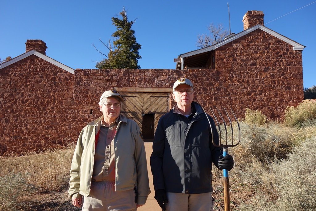
American Gothic

American Gothic

I suggested a bare-chested “Putin” pose. The boss told me if I wanted to do the Putin pose, I would have to look more macho by posing next to the longhorn steer inside the corral. That got him what he wanted. This is supposed to be American Gothic.


Arizona Strip

Arizona Strip

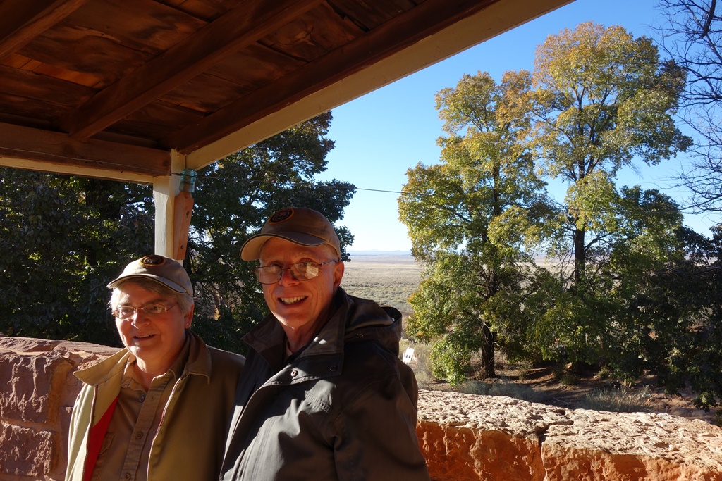
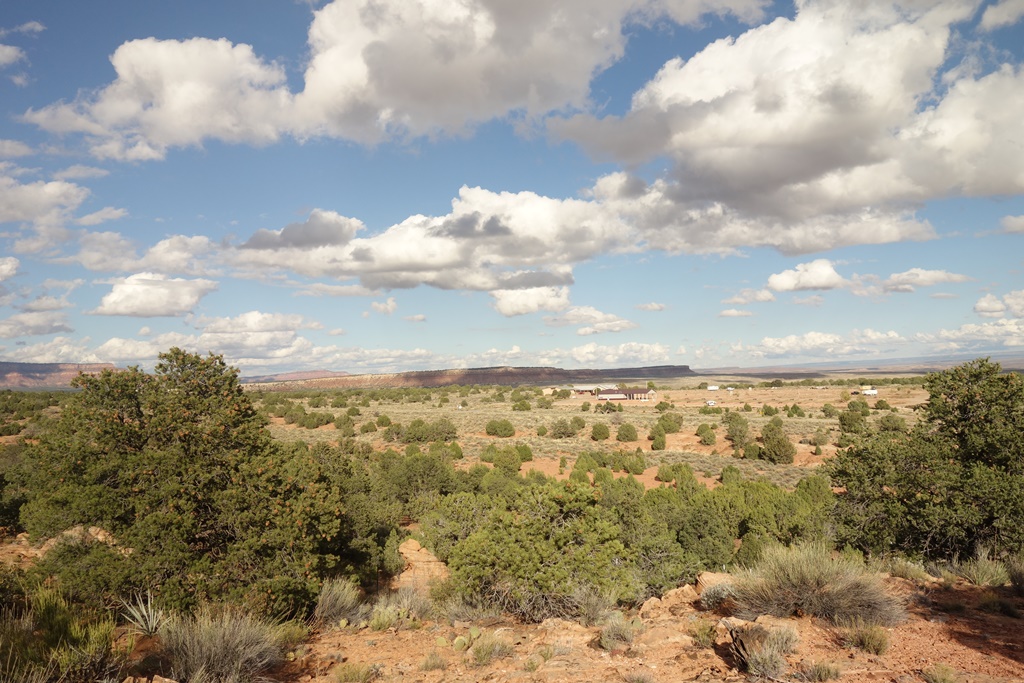
This is my favorite view from the fort. Pipe Spring is in the “Arizona Strip”. This is a 60-mile wide East-West strip of land between two impenetrable barriers — the Grand Canyon and the Vermilion Cliffs. Anybody traveling in the area is going East-West, and they are easily detected from the fort. That, plus the water, makes this a very strong position for a fort. You can see the North Rim of the Grand Canyon on the horizon, behind my left shoulder.

Courtyard

Courtyard

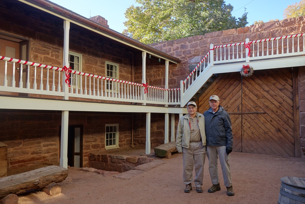
This is from inside the fort in the courtyard. You can see some of the Christmas decorations. You can’t tell from the picture, but the wreath in the background has a uniquely Paiute touch. It contains “Devil’s Claw”. This plant was grown in their “Three Sisters” gardens (beans, squash, corn). The seeds are edible. The exterior covering is black; long and curled like talons on a claw. The black exterior was soaked until it became flexible and used to provide the black fibers for their amazing baskets.

Last Week in AZ

Baby Diapers

Baby Diapers

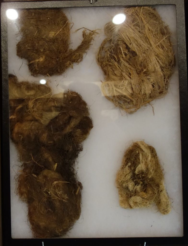
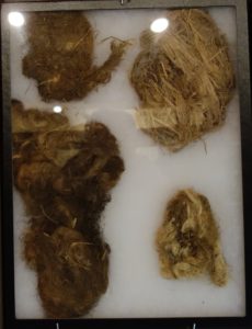
We had a nice weekend. Monday we had a little snow. Roads were OK, but we decided we didn’t want to go to Yoga, because we would be driving back too late. I called the Red Pueblo Museum to see if they would be open any time during the weekend. They said they would start a private tour in a few minutes. We were welcome to join in. So we did. Having a tour made all the difference. There is no signage. If we had just walked in and looked around, we would not have known what we were looking at. This museum has privately collected Indian artifacts. They have a lot of things one just doesn’t see in a more formal museum. Here is a picture of baby diapers. The one in the upper right is “fully loaded”.
Fancy Mocassin

Fancy Moccasin

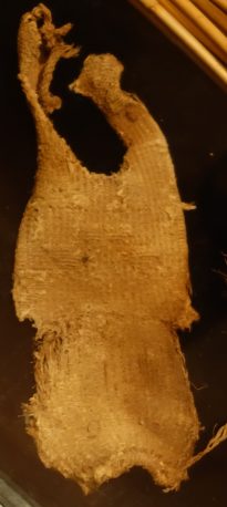
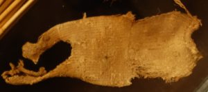
The other picture is of a moccasin. The picture shows the bottom of the moccasin. The heel on the left is worn through. It’s hard to see in this picture, but the bottom has several fancy patterns — triangles, rectangles, and diagonals. It would make a distinctive footprint in the sand. It’s just like owning handmade Italian shoes today.

Since we were close to Kanab with no hard deadlines for going home, we went to a Mexican restaurant for dinner. Its reputation is excellent. We found it to be good, but not excellent. Tuesday we did our communion service and breakfast in Kanab. Then we did our online Christmas shopping. Wednesday we did chores and goofed off. I wanted to take a bike ride, but it was too close to freezing. I decided to stay home.

Today we rode west to Hurricane. I got my last Arizona haircut. (I never found a good barber in AZ.) We visited a silver mine ghost town. There were a lot of boom mine towns in UT in the late 1800s. This site was overlooked because everybody “knew” it wasn’t possible to find precious metals in sandstone. A story is told of an assayer who had a reputation for always finding precious metals in anything that was brought to him. A sandstone grinding stone was made in this area, fell off the wagon, and broke. The men decided to submit pieces of the grinding stone to this assayer as a joke. He said there was silver in the sandstone. They ran the man out of town, and he was never heard of again. Many years later, they found out the assayer was right. We enjoyed listening to this and other stories the docent told us.

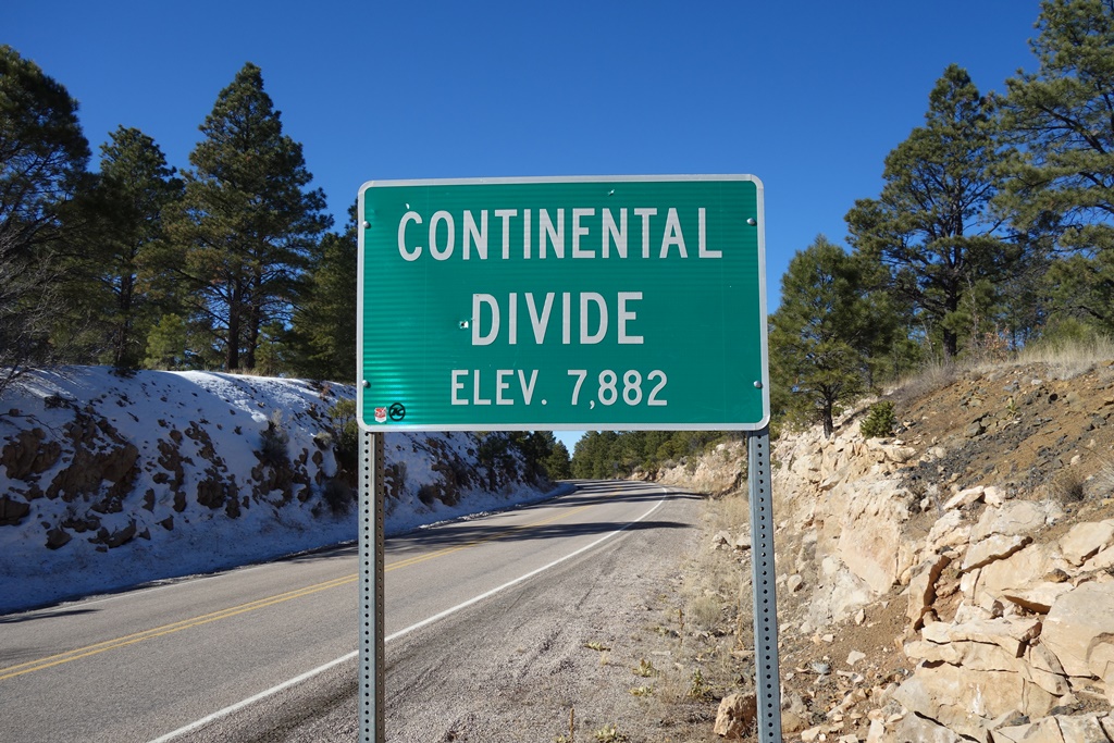
We go back to work tomorrow. Danita and I will swap off manning the visitor center desk and offering fort tours. Realistically, that means we will spend out time sitting in the visitor center, because there are very few visitors this time of year. We check out Tuesday. We’ll drive to Paige, AZ Tuesday afternoon. Wednesday we travel through Fredonia, AZ and on to Gallup, NM. Fredonia is an important point of our travels, because that’s where we got off the 2-lane roads and pick up I-40. I-40 is reputed to follow the route old US Highway Route 66. We’ll even have the opportunity to see some of the old 66 roadside Americana.

I hope this finds everybody doing well.
 

2 Weeks to Go

Danita feeding the horses

Danita feeding the horses

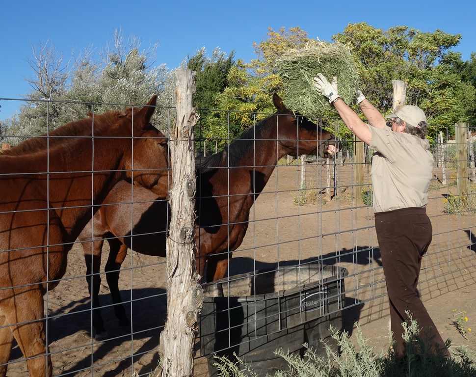
We’re beginning to look forward to coming home. Our route is drafted, and an alternate is also drafted. We have our normal 3-day weekend, but of course not much of anything will be open tomorrow. We did chores yesterday. I did a bike ride and Danita visited Best Friends, a huge animal sanctuary that is located near Kanab. Today we went to communion service and had breakfast out. Tomorrow one of the people we work with invited us to Thanksgiving dinner.

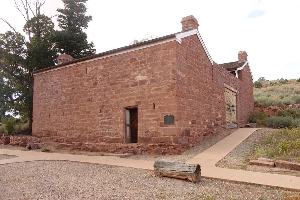
Mormon Fort. The first caretaker was Mr. Winsor. It became known as "Winsor's Castle".

Mormon Fort. The first caretaker was Mr. Winsor. It became known as “Winsor’s Castle”.

Since we’re being so lazy, here’s a few pics of Pipe Spring.

One can see the entire width of he Arizona strip from our property (about 60 miles)

One can see the entire width of he Arizona strip from our property (about 60 miles). It’s not hard to see if somebody is coming. The North Rim of the Grand Canyon is on the horizon.

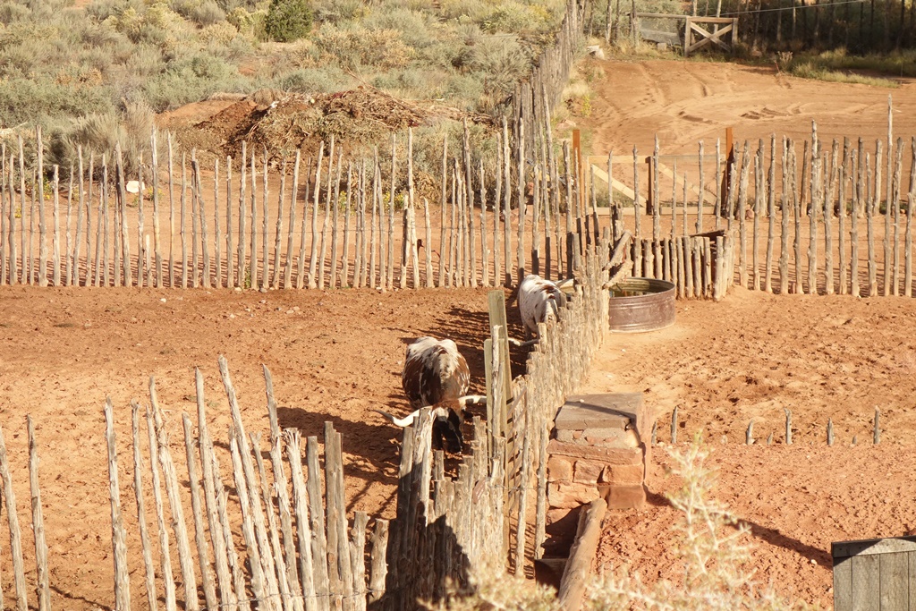
Our Longhorn Cattle

Our Longhorn Cattle

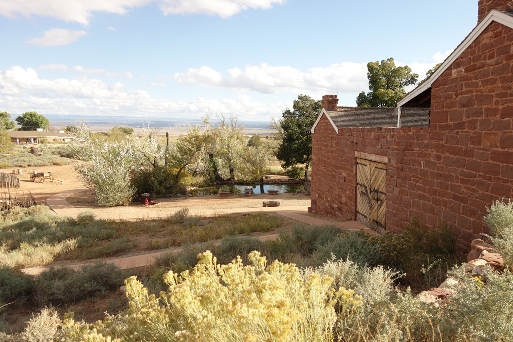
This shot of the fort shows the spring-fed pond

This shot of the fort shows the spring-fed pond

St. George

After visiting Valley of Fire, we drove to our hotel in Mesquite. Winds were quite high. After dinner winds were still bad. I ran over a tumbleweed. I decided it wasn’t wise to try to avoid hitting it when driving 70 MPH. Self-driving cars are in the news these days. I wonder what a self-driving car would have done? Yesterday we drove back from our hotel in Mesquite, NM. We stopped at a couple of Mormon sites in St. George, and we watched the movie “Arrived”. (Highly recommended.) Our car looks awful from the wind, sand, and overnight moisture. Today is Friday, which is our Monday.

I wasn’t motivated to take any pics, so here’s a sunset sequence. We certainly don’t get to see this stuff at home.
dsc03250

dsc03255

dsc03258

dsc03260

dsc03270

Valley of Fire

White Dome area - slot canyon

White Dome area – slot canyon

Our work schedule was modified to help cover for departing rangers. We are working Friday to Monday. That starts our “weekend” a day earlier. (I am having a little trouble thinking of Monday as my Friday. The combination explodes in my brain.) We are on our last planned large trip this week. We drove to Nevada to visit the Valley of Fire state park. It’s a beautiful park with several trails. We walked two of them. The first was the White Dome Area. The trail goes down into a canyon, which gets narrow and becomes a way cool slot canyon. Coming out of the canyon, we climb a hill to get an overview of part of the park. The colors are stunning – reds, pinks, yellows, whites, and even some purples. We hadn’t seen all of these colors in one spot before today.

Rainbow Colors

Rainbow Colors

The next trail was the petroglyph trail. The colors weren’t as stunning, but the petroglyphs were. This was awesome enough that it warranted eating lunch there. Unfortunately, it wasn’t anywhere near lunch time, so I had a snack instead.

After the second hike, we did a brief tour of the visitor center movie and displays. I was pretty tired, and the weather was threatening high winds, so we left to go to our next stop, the Lost City Museum.

Petroglyphs

Petroglyphs

I had high hopes for this museum, but I was pretty disappointed. The concept is cool. They built a museum on top of an Anasazi Village archaeological site. (Anasazi is Navajo for Enemy, so the PC term these days is “The Ancient Ones”. But that is vague and nobody knows what it refers to.) The museum divided the dig into three sections – one to show what it looked like before the dig, one for what it looked like after the dig, and an “interpretation” of what was there. That was OK. But the rest of the exhibits were a mash-up of ancient artifacts, reconstructions of those artifacts, and modern Indian art. They weren’t clearly delineated and nothing was dated, They had some panels referring to what was present at different geological times, but they seemed to be randomly thrown in where they had empty space.

Lost City Museum

Lost City Museum

Nevertheless, the museum was on the way to hour hotel, it didn’t cost much, and it provided a nice view of the Anasazi. Some of the reproduction baskets were stunning. The CCC built a fake village outside the museum. The picture shows Danita playing around the fake village. There’s no way either of us could have squeezed ourselves inside any of the Anasazi rooms.

Star Trek Enterprise

Star Trek Enterprise

Here’s a bonus pic. I took it on the petroglyph trail. It looks to me like the Star Trek Enterprise emerging from the rock. (Stark Trek Generations was filmed at the park.)

Snow Canyon

Pioneer Names

Pioneer Names

After last weekend’s extravagant outing, we are enjoying an easy weekend this week. We took a half-day trip to Snow Canyon. (Some of the sandstone is white — like snow.) We saw a cliff where pioneers wrote their names in axle grease in the 1890s. At the bottom of the cliff, other people had written their names, much more recently. The names at the bottom of the cliff are graffiti. The names from the 1890s are a feature.

Snow Canyon

Snow Canyon

We also took a pleasant walk into a slot canyon. We walked all the way to the end. There was a low lookout nearby. It was quite nice, but it wasn’t quite awesome. I didn’t eat any meals in Snow Canyon.

There was unhappiness in Pipe Spring this week. Running a park is labor intensive. To keep costs down, the parks use a mixture of volunteers, seasonal workers, interns, and temporary contract workers. This keeps the number of permanent employees down. (You know, the kind of employees that get benefits like medical insurance.) The folks at Pipe Spring were bending the rules and hiring people for more months than they are allowed to work by reassigning the people to different jobs at different pay grades. This week, the results of an audit came back. They got wrapped on the knuckles rather hard. Several seasonal employees will be leaving earlier than they planned.

That’s about all the news this week. I hope this finds everybody doing well.
Page 2

Watching the Ballooners

Watching the Ballooners

We started our second day in Page, AZ by watching the balloon ascension from our hotel room. This was totally unplanned. We learned the annual balloon ascension would be the weekend we are in Page. After we checked in, we learned one of the ascension sites was visible from our room. The weather didn’t cooperate, but it sure was fun watching them mill around from the comfort of our room.

Glen Canyon Dam Visitor's Center

Glen Canyon Dam Visitor’s Center

From there, we visited Glen Canyon Dam. It was a pretty standard dam tour. I think Hoover Dam was a lot cooler. Although the visitor center building is a very cool.


View at the end of Hanging Garden Trail

View at the end of Hanging Garden Trail

We took a short hike to a hanging garden – which means moss-like plants growing on the wall of a wet rock. If the garden wasn’t all that great, the hike itself was very nice. Notice Danita near the bottom of the picture.


Lake Powell from the Boat

Lake Powell from the Boat

I especially liked the “Castle” on the right near the horizon. I’m still doing my new hobby of eating in amazing places. Yesterday I ate at Lee’s Ferry (the original, upstream location) and Horseshoe Bend. Today, I ate at the top of the Hanging Garden trail and on the Lake Powell boat trip we took after the hike.

Navajo Canyon, Navajo Wash Wall

Navajo Canyon, Navajo Wash Wall

The boat tour included travel up two canyons. The first was Navajo Canyon, which contains a way-cool wall with “Navajo Wash”. It looks rather like a psychedelic mural. This photo really doesn’t do it justice.


Antelope Canyon

Antelope Canyon

We also visited Antelope Canyon. The channel kept getting narrower. We were in a substantial boat. We were all convinced the boat wouldn’t even fit. The pilot managed to turn it around and drive it back out.

After that, it was time for the drive back to Pipe Spring. Tomorrow’s a work day …

Lee’s Ferry

Navajo Bridge

Navajo Bridge

We are on an overnight trip to Page, AZ. We started out with a communion service and breakfast in Kanab. Then we drove to the Colorado River just above the Grand Canyon. Navajo Bridge was built in 1929, making it efficient for cars to cross the Colorado River. By 1990, they needed a wider bridge that could handle heavier trucks. They left the old bridge up for pedestrians to use.

Original location of Lee's Ferry. "Lee's Backbone" is in the background.

Original location of Lee’s Ferry. “Lee’s Backbone” is in the background.

Before Navajo Bridge, the only way to cross the river around here was to take Lee’s Ferry. John D. Lee was a Mormon. Back in 1857, Brigham Young was building a theocratic nation-state in Utah. President Buchanan took exception to that and decided to send out a civil governor, judges, and 2500 Federal troops. The Mormons decided the only reason to send troops would be to throw them out of Utah. This set up a hysterical war mentality that ultimately lead to the Meadow Mountain Massacre, where the Mormons in southern Utah killed 110 people in a wagon train trying to go to California. John D. Lee was the only person identified by name to participate in the massacre.

Building at Lee's Ferry

Building at Lee’s Ferry

Brigham sent Lee to a remote lumber mill for a few years. Then he sent him to the even more remote Colorado river to establish a ferry service for Mormons who wanted to move into Arizona. Lee created the ferry a few miles upstream of where they eventually built Navajo Bridge.  Lee’s ferry used a steep hill, gaining 300 feet of elevation, called “Lee’s Backbone”. It was the hardest part of the journey to AZ. Wagons had to be double-teamed with oxen to make it up the hill. A few years later, Lee was tried for the massacre, found guilty, and executed by being shot. He was not the only person to participate in the massacre, but he was the only person ever punished.

Second location of Lee's Ferry

Second location of Lee’s Ferry

Lee’s widow took over the ferry and moved it downstream, closer to Navajo Bridge. The new location avoided the steep hill, but snow melt made the river impassible in the summer. Over the years, a cable was added to make the ferry safer. The ferry was used to transport materials for the Navajo Bridge. Unfortunately, the ferry sank about 6 months before the bridge was complete. They had to finish the bridge without the ferry, which added over a hundred miles of travel between the two sides of the bridge.

Steam Engine

Steam Engine

Most people around here don’t know about the two different locations for Lee’s ferry. So now you know more than most about a small piece of Mormon history. The steam engine shown here was brought out when they found gold in the area. Charles Spenser started a gold mining company. Besides the steam engine, there are also remnants of a large steam boiler and the steam boat. The gold was very fine — really just dust. The plans for removing the gold were a total flop. The gold mining company was a spectacular failure.

Horseshoe Bend

Horseshoe Bend

After that, we went to Horseshoe Bend. This is an easy 3/4 mile walk to a point where the Colorado River goes through a spectacular 300 degree bend around a piece of sandstone rock. The vantage point is high above the river. The view is quite dramatic.

We finished the day with hamburgers and ice cream for dinner. We’re snugly ensconced in our hotel room in the city of Page, AZ; well positioned for tomorrow’s adventures.

Red Cliffs

Orson Adams House, last house standing from the old village of Harrisburg, which died when the river was re-routed

Orson Adams House, last house standing from the old village of Harrisburg, which died when the river was re-routed

Life proceeds apace out here “on the strip”. The part of Arizona between the Grand Canyon and the Vermilion Cliffs is known as the Arizona strip. It’s called a high desert because on the Colorado plateau, so the altitude is 5,000 feet (just like Denver).  There is only one road, going East-West on the south side if the Vermilion Cliffs. Every trip involves going through either Kanab to the east or St. George to the west.

A Red Cliff

A Red Cliff

This weekend we went west to the Red Cliffs area. The area is managed by BLM (just like the area the Bundys were acquitted of seizing). There’s a tent campground (no RVs permitted). We took an easy walk to some Anasazi ruins. Some people say they should be called “Ancestral Puebloans” or “The Ancient Ones” because the word Anasazi is a Navajo word that means “ancient enemies”. The scenery was nice enough, but the ruins weren’t all that much to look at. We found two men from OK finishing up their work of installing new signs, which was as interesting as anything else.

Anasazi area sign, ready for mounting

Anasazi area sign, ready for mounting

I wrote earlier that just before we left, BoA (Bank of America) decided we had to have new credit cards and they had to be activated. The new cards were identical to the old ones, except the new card had “World Traveler” printed on the front. After a long phone call, I got the bank to send additional cards overnight so we could activate them before leaving on our trip.

2 Guys from OK. They've been working out here for a month. They go home next week.

2 Guys from OK. They’ve been working out here for a month. They go home next week.

BoA did it again. I’ve been downloading transactions to Quicken for years. It’s an easy way to keep track of expenses. A couple of weeks ago, it stopped working. BoA pretends they know nothing about it, and they refuse to help. Still, it’s our major credit card and they give us 1% cash back with a minimum of gimmicks and hassles.

"Ancient Enemy" ruins

“Ancient Enemy” ruins

Then they issued a new credit card. Again. Our old cards were deactivated Tuesday. This time we are using an internet phone service. It’s OK for short calls, but the sound quality is not good and it keeps on fading in and out. I wasn’t up to a long phone call with BoA. We let the card expire and tossed them in the trash. If we get new cards and if BoA lets us activate them, we’ll keep the account. Otherwise, we’ll be looking at Chase or Capital One after we get back home. In the mean time, our backup Visa card is now our primary card. I didn’t like it because it doesn’t support downloading into Quicken and the rebates are full of gimmicks. On the other hand, we got new cards from them, forwarded to us in Pipe Spring. And we were able to use the old card until the new cards were activated.

Yesterday I realized I had set up our medical insurance payments for the rest of the year using our BoA card. I don’t know what the website is to change that. (Those records are at home.) Life is full of fun little surprises.