Watching the Ballooners
We started our second day in Page, AZ by watching the balloon ascension from our hotel room. This was totally unplanned. We learned the annual balloon ascension would be the weekend we are in Page. After we checked in, we learned one of the ascension sites was visible from our room. The weather didn’t cooperate, but it sure was fun watching them mill around from the comfort of our room.
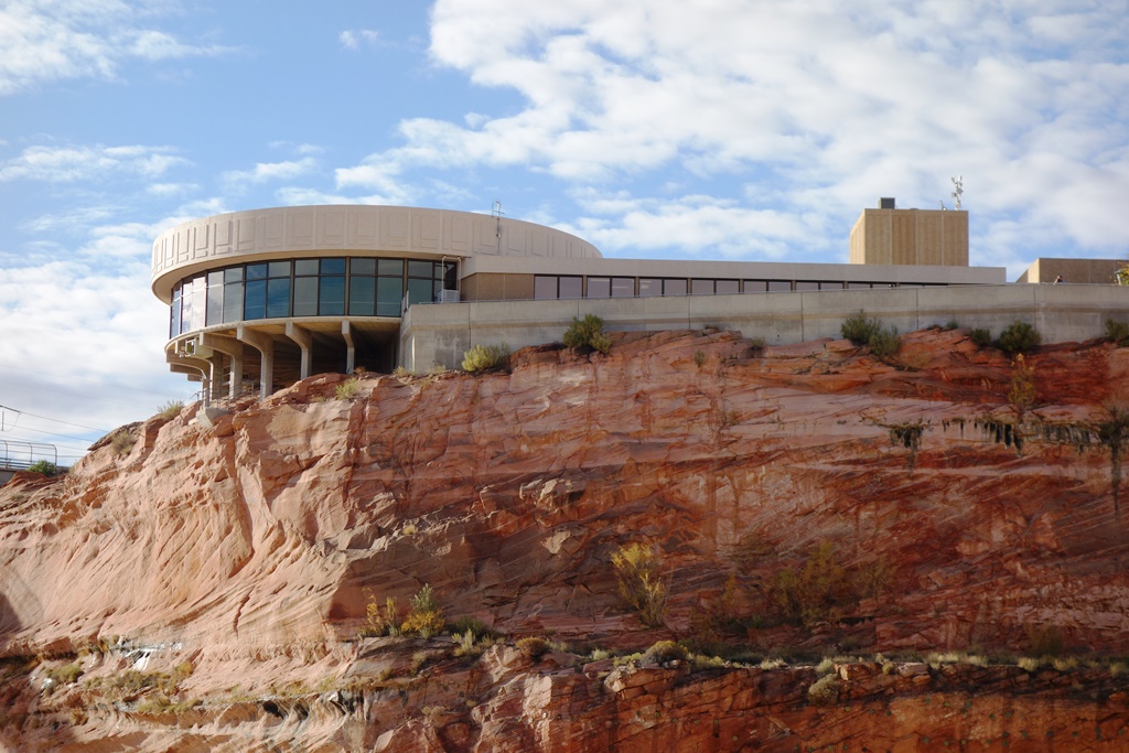
Glen Canyon Dam Visitor’s Center
From there, we visited Glen Canyon Dam. It was a pretty standard dam tour. I think Hoover Dam was a lot cooler. Although the visitor center building is a very cool.
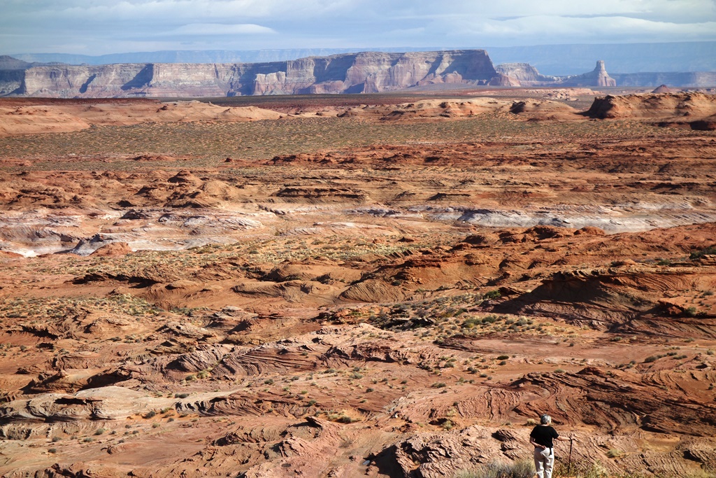
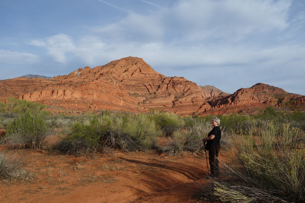
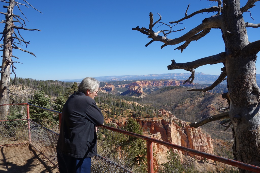
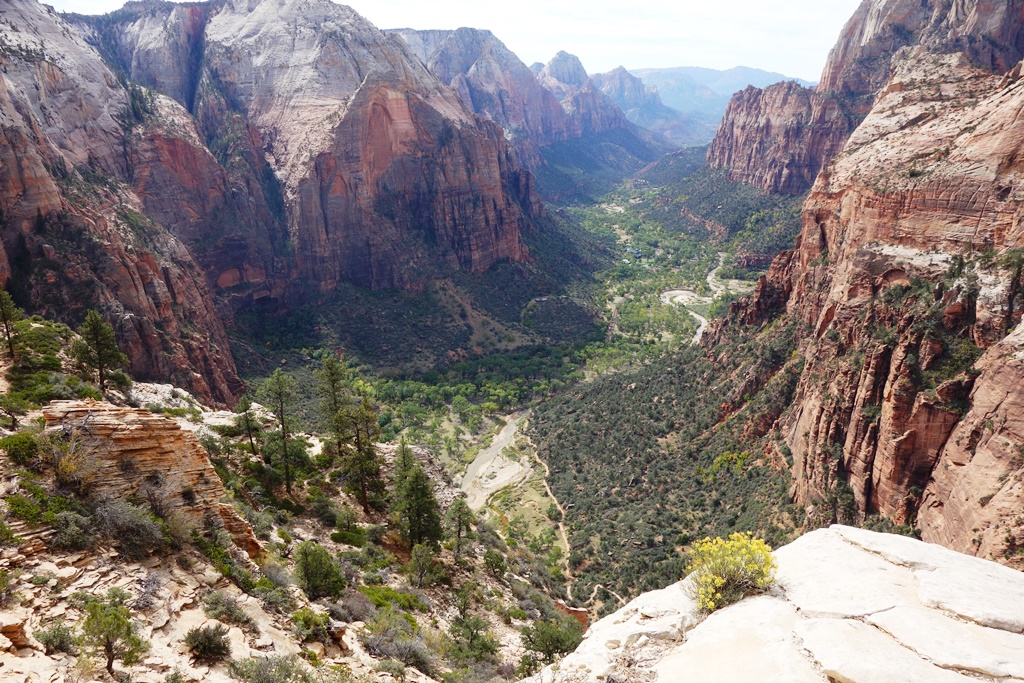
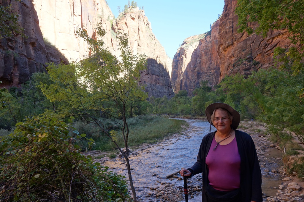
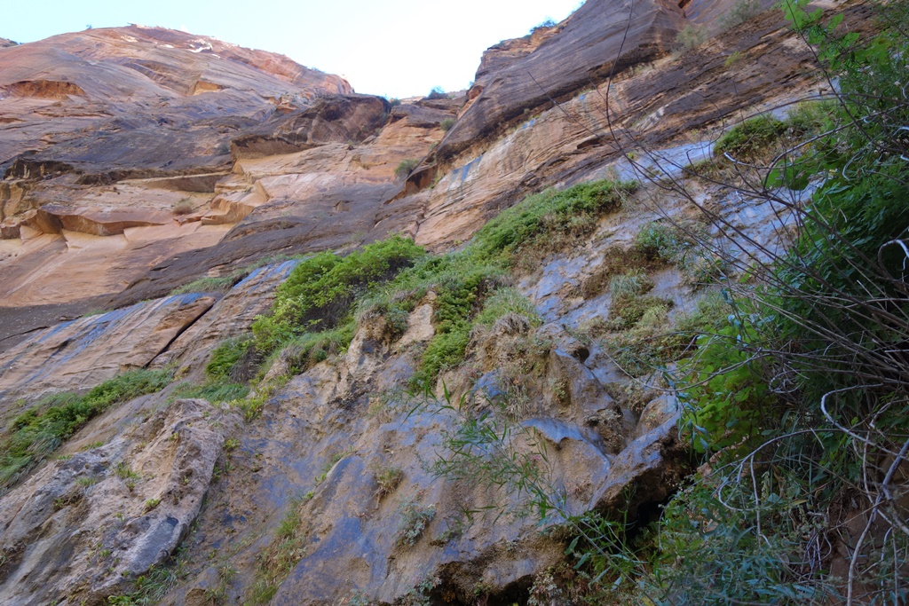
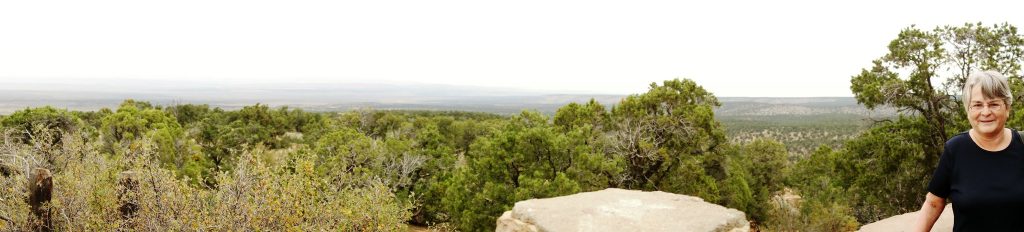
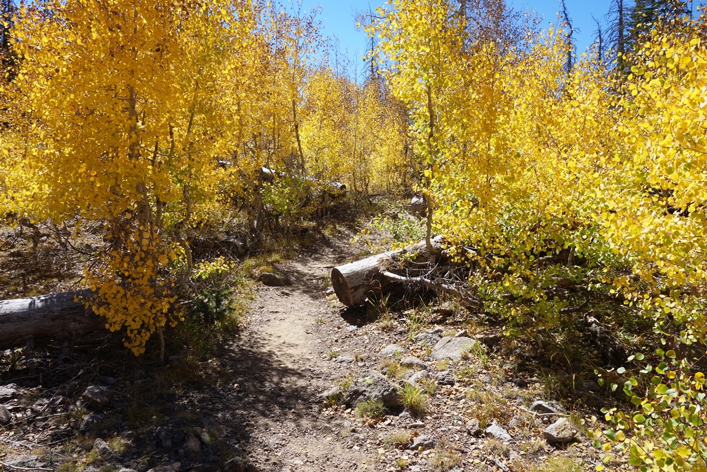
View at the end of Hanging Garden Trail
We took a short hike to a hanging garden – which means moss-like plants growing on the wall of a wet rock. If the garden wasn’t all that great, the hike itself was very nice. Notice Danita near the bottom of the picture.
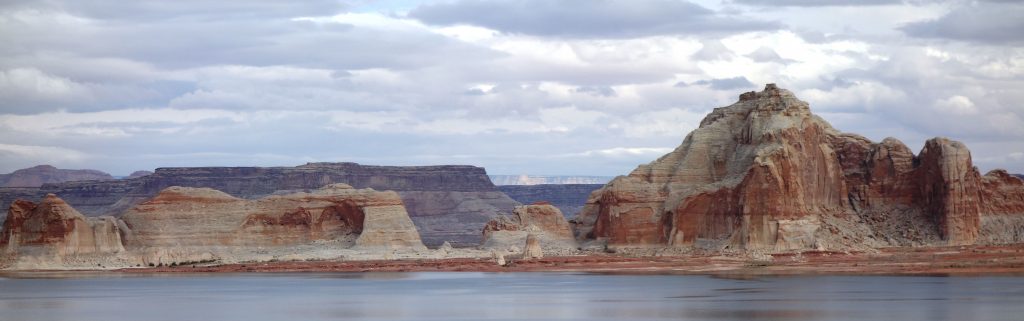
Lake Powell from the Boat
I especially liked the “Castle” on the right near the horizon. I’m still doing my new hobby of eating in amazing places. Yesterday I ate at Lee’s Ferry (the original, upstream location) and Horseshoe Bend. Today, I ate at the top of the Hanging Garden trail and on the Lake Powell boat trip we took after the hike.
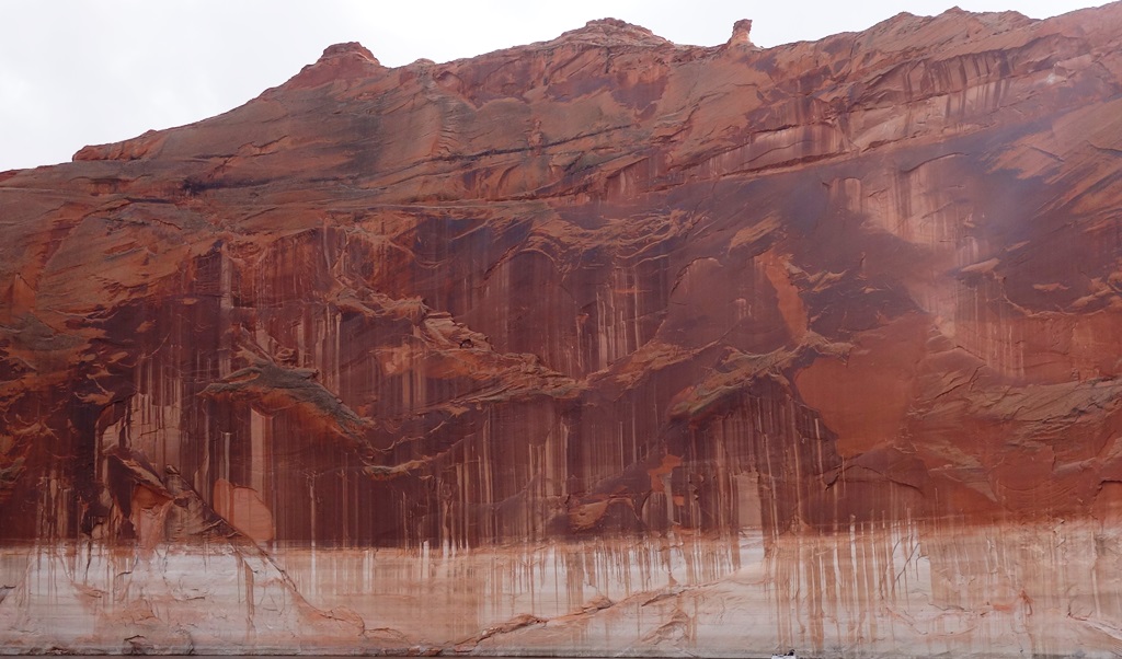
Navajo Canyon, Navajo Wash Wall
The boat tour included travel up two canyons. The first was Navajo Canyon, which contains a way-cool wall with “Navajo Wash”. It looks rather like a psychedelic mural. This photo really doesn’t do it justice.
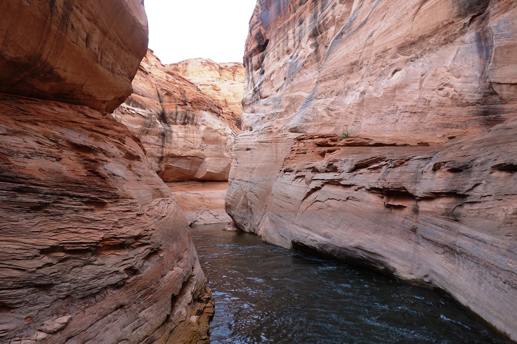
Antelope Canyon
We also visited Antelope Canyon. The channel kept getting narrower. We were in a substantial boat. We were all convinced the boat wouldn’t even fit. The pilot managed to turn it around and drive it back out.
After that, it was time for the drive back to Pipe Spring. Tomorrow’s a work day …